


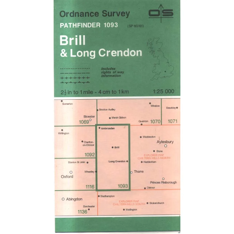
Brill And Long Crendon - Pathfinder 1093
Publisher: Ordnance Survey
Format: Paperback
ISBN: 0319213994
Brill and Long Crendon – Pathfinder 1093 (1994) – Ordnance Survey
Ordnance Survey | ISBN: 0319213994
Condition: Good | Sold by Crappy Old Books
Brill and Long Crendon. Two delightful Buckinghamshire settlements surrounded by rolling countryside, ancient lanes, historic buildings and enough footpaths to keep a determined rambler occupied until the weather turns unpleasant or the sandwiches run out. Here, far from the frantic pace of metropolitan life, one can enjoy the comforting illusion that rural England remains largely unchanged, provided one doesn’t look too closely at what has happened to the roads, fields and housing developments over the past thirty years.
Welcome to Brill and Long Crendon – Pathfinder 1093, a 1994 Ordnance Survey map from the glorious era when navigating the British countryside required a paper map, a compass and sufficient confidence to convince one’s companions that the unexpected appearance of a sewage works was all part of the planned route.
Brill itself is a wonderfully distinctive village, perched upon a prominent hill and famous for its historic windmill, sweeping views and curious position in the landscape. Its name is derived from words associated with a hill, making Brill Hill effectively a hill called Hill Hill, which suggests that geographical naming committees have been struggling with originality for rather longer than most people imagine.
Long Crendon, meanwhile, offers a particularly attractive collection of historic buildings, traditional streets and architectural reminders of centuries of English village life. Its medieval associations and picturesque surroundings provide the sort of scenery that makes visitors wonder whether living in the countryside might be wonderfully peaceful, until they discover the price of the houses.
Between and around these settlements lies a patchwork of agricultural land, quiet lanes, woodland, waterways and scattered villages, all recorded through the magnificent cartographic precision for which Ordnance Survey has become internationally respected.
The Pathfinder series used the wonderfully practical 1:25,000 scale, allowing walkers and countryside enthusiasts to identify footpaths, bridleways, field boundaries and geographical features in considerably greater detail than the average road atlas. Four centimetres on the map represents one kilometre on the ground, although anyone who has attempted to cross a muddy field in November will appreciate that the actual experience can feel considerably longer.
Published in 1994, this map also provides an intriguing historical record of the local landscape before three decades of subsequent development, altered roads and changing land use. For local historians, genealogists and enthusiasts of historical geography, comparing an older Ordnance Survey sheet with modern mapping can reveal fascinating changes that might otherwise pass unnoticed.
There is something particularly satisfying about a traditional paper map. It never requires charging, never loses its satellite connection and never announces that you have arrived at your destination while you are standing in a field surrounded by suspicious-looking cattle.
Its principal disadvantage is that it requires the user to possess a modest understanding of where they actually are.
This 1994 Ordnance Survey Pathfinder 1093, offered in Good condition by Crappy Old Books, is an appealing acquisition for walkers, collectors of vintage maps and anyone interested in the historical geography of Buckinghamshire.
A charming cartographic snapshot of Brill, Long Crendon and their surrounding countryside, from a time when getting lost was considered an unfortunate but perfectly respectable part of a day out.
And if you should happen to find yourself wandering in circles around Brill Hill, at least the views are magnificent.
Just don’t blame the map. It’s been telling you where to go since 1994.
Keep browsing: See more Maps books Other books by Ordnance Survey
